Home
Parish Council phone number: 07437 703411
The Clerk works part-time so please use the answer-phone to leave a message if the office is closed and they will get back to you as soon as possible.
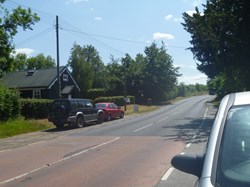
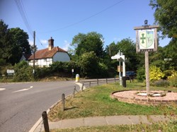
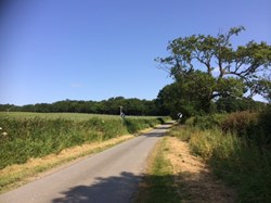
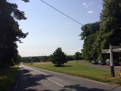
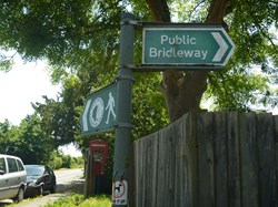
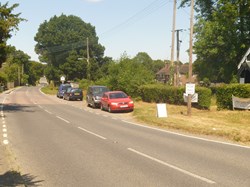
Ansty and Staplefield Parish council is responsible for an area of West Sussex that runs from the north west side of Burgess Hill towards Handcross. It includes the settlements of Ansty in the south, Staplefield to the north-west and Brook Street to the north-east, as well as the new developments at Sandrocks, Rocky Lane. It is the largest civil parish in West Sussex, covering an area of 3,869 hectares (14.94 sq mi), and has a population of 1756 (2011 Census).
accessibility statement - attachments.asp
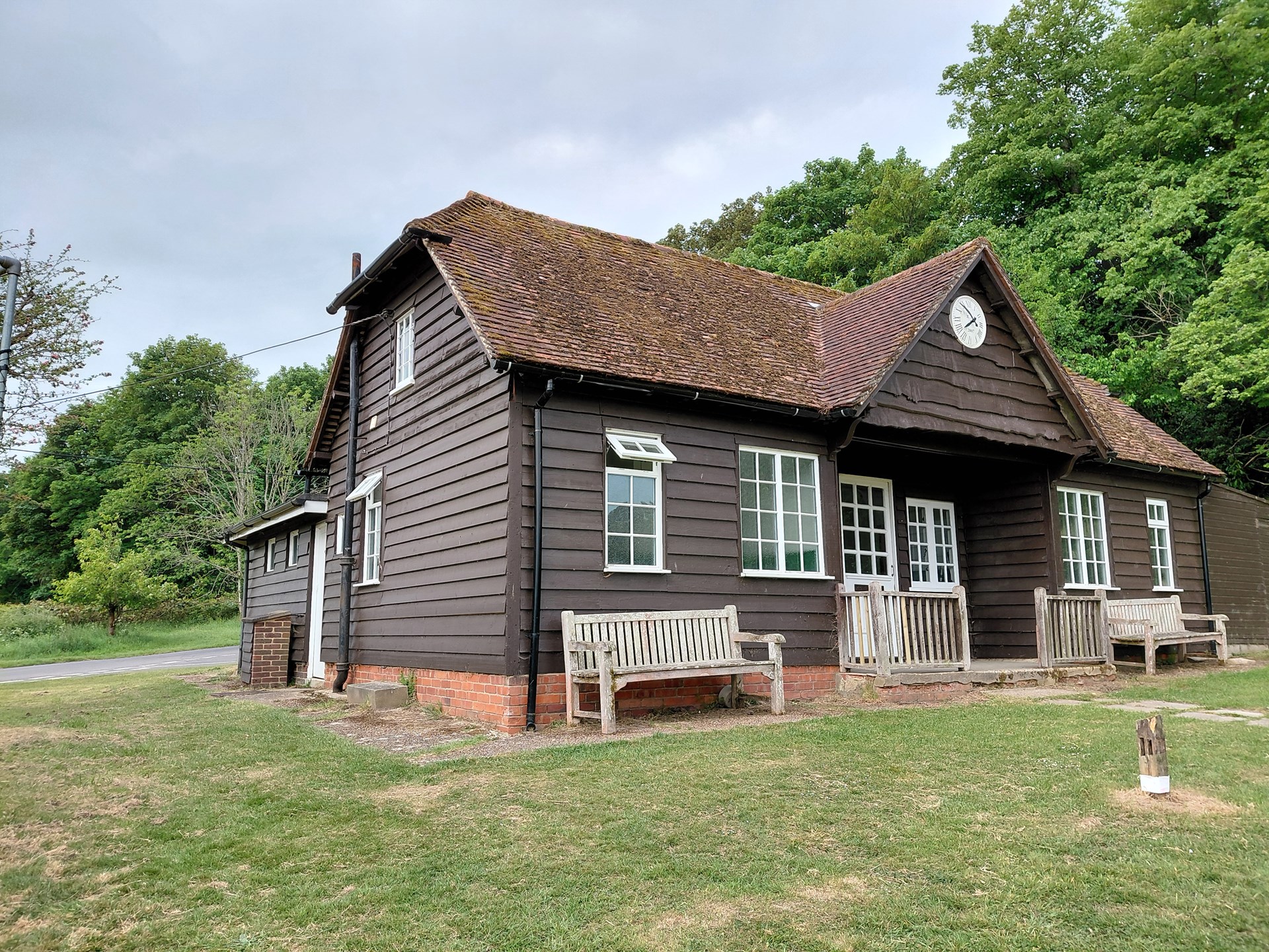
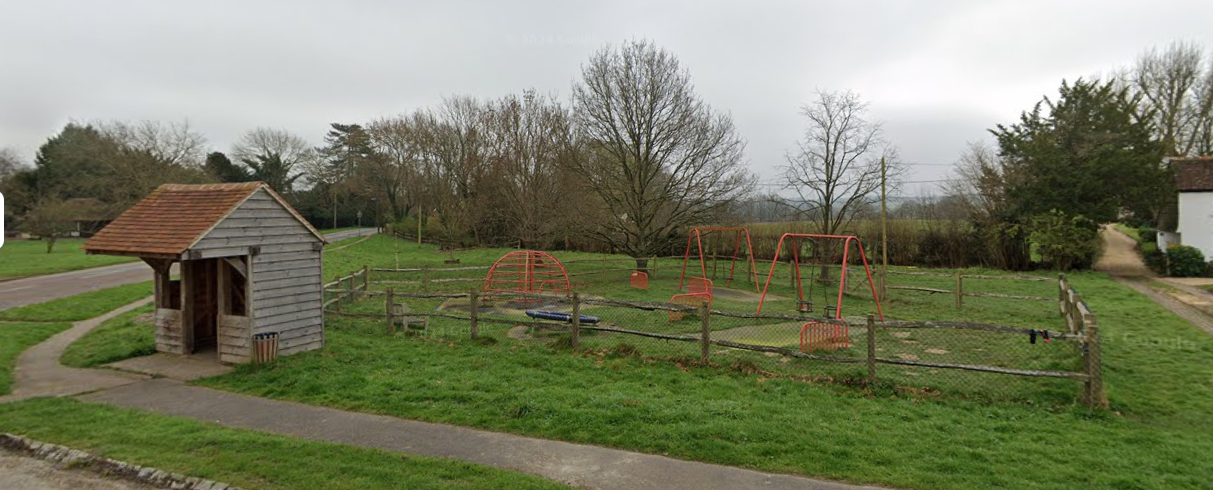
Ansty & Staplefield Parish Council have been very busy obtaining quotes to refurbish both the playpark and pavilion in Staplefield.
We now have several quotes for the play park which will be considered by councillors at our next full council meeting being held in October and hopefully, we will then be in a position to give the go ahead. St Marks C of E School did a project on the playpark expressing what they thought about it and what they would like to have at the park and have very kindly shared their ideas with the council. This has been really useful when looking at designs. We have also requested a farming theme to have it more in keeping with the village and it's surroundings and we hope that everybody will love the final design.
The pavilion quotes are still coming in and we are hoping that we can obtain these quickly to enable the work to be completed before the new cricket season arrives. This is very challenging within the limit of our funds and as with everything, takes time to collate.
If anybody, individual or business, would like to contribute towards either refurbishment, please contact the clerk ASAP. This could be sponsoring a piece of park equipment, sponsoring part of the pavilion refurbishment or making a donation towards either. However big or small, any contribution would enable us to improve each in the very best way we can to benefit the community.
Tel: 07437 703411
Please click the link below to see details of a Boundary Review currently affecting our Parish.
